
来自陆地卫星的全球河流宽度(GRWL)
来自陆地卫星的全球河宽(GRWL)图层是GRWL论文的主要输出,在加入所有子部分后,它非常大,有超过6400万个特征,这是作者提供的子部分文件的组合。你可以在这里阅读该论文
该资源库由5个文件组成,每个文件都有子部分
1) 简化的GRWL向量产品:grwl_SummaryStats_v01_01
该shapefile包含以下属性:
| Index | Attribute | Description |
| 1 | width_min | the minimum of river width measurements along the segment at mean discharge (meters) |
| 2 | width_med | the median of river width measurements along the segment at mean discharge (meters) |
| 3 | width_mean | the mean of river width measurements along the segment at mean discharge (meters) |
| 4 | width_max | the maximum of river width measurements along the segment at mean discharge (meters) |
| 5 | width_sd | the standard deviation of river width measurements along the segment at mean discharge (meters) |
| 6 | lakeflag | integer specifying if segment is located on a river (lakeflag=0), lake/reservoir (lakeflag=1), tidal river (lakeflag=2), or canal (lakeflag=3) |
| 8 | nSegPx | number of pixels within the segment (N pixels) |
| 9 | Shape_Leng | length of the segment (kilometers) |
2) GRWL Mask (raster): water_mask_v01_01
该shapefile包含以下属性:
| DN Value | Classification |
| DN = 256 | No Data |
| DN = 255 | River |
| DN = 180 | Lake/reservoir |
| DN = 126 | Tidal rivers/delta |
| DN = 86 | Canal |
3) GRWL Vector Product: water_vector_v01_01
该shapefile包含以下属性:
| Index | Attribute | Description |
| 1 | utm_east | UTM Easting (UTM Zone is given in tile file name; meters) |
| 2 | utm_north | UTM Northing (UTM Zone is given in tile file name; meters) |
| 3 | width_m | wetted width of river (meters) [note: width_m == 1 indicates NA (no width data along the centerline) ] |
| 4 | nchannels | braiding index (-) |
| 5 | segmentID | unique ID of river segment in each tile |
| 6 | segmentInd | Index of each observation in each segment. Not sorted by upstream or downstream |
| 7 | lakeflag | integer specifying if observation is located on a river (lakeflag=0), lake/reservoir (lakeflag=1), tidal river (lakeflag=2), or canal (lakeflag=3). |
| 8 | lon | Longitude (decimal degrees) |
| 9 | lat | Latitude (decimal degrees) |
| 10 | elev | Elevation (meters) – sampled from the Hydro1k DEM |
4) 各个GRWL瓦片的位置图:grwl_tiles
5)按流域划分的河流和溪流表面积总数(Allen & Pavelsky, 2018中的图4):rssa_basins
GRWL矢量产品有一个特征数:64,572,998个特征。
代码
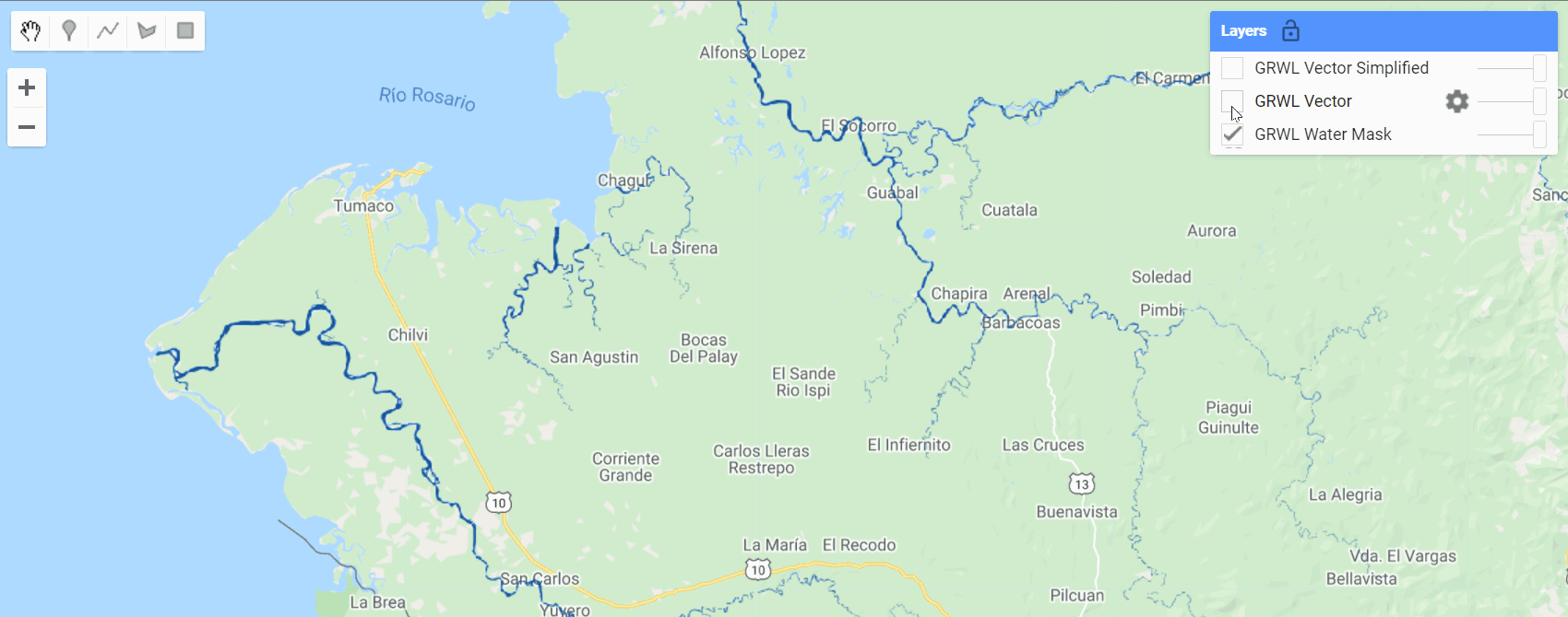
var grwl_summary = ee.FeatureCollection("projects/sat-io/open-datasets/GRWL/grwl_SummaryStats_v01_01");
var water_mask = ee.ImageCollection("projects/sat-io/open-datasets/GRWL/water_mask_v01_01");
var grwl_water_vector = ee.FeatureCollection("projects/sat-io/open-datasets/GRWL/water_vector_v01_01");
var grwl_tiles = ee.FeatureCollection("projects/sat-io/open-datasets/GRWL/grwl_tiles");
var grwl_rssa_basins = ee.FeatureCollection("projects/sat-io/open-datasets/GRWL/rssa_basins");
//Import palette
var palettes = require('users/gena/packages:palettes');
Map.setCenter(-78.2758, 1.663,10)
Map.addLayer(water_mask,{'min':11,'max':125,palette: palettes.colorbrewer.Blues[5]},'GRWL Water Mask')
Map.addLayer(grwl_water_vector.style({fillColor: '00000000',color: 'FF5500'}),{},'GRWL Vector')
Map.addLayer(grwl_summary.style({fillColor: '00000000',color: '0000FF'}),{},'GRWL Vector Simplified')
Resolution: approx 30m
数据引用Cite the dataset using
Allen, George H., & Pavelsky, Tamlin M. (2018). Global River Widths from Landsat (GRWL) Database (Version V01.01) [Data set]. Zenodo. http://doi.org/10.5281/zenodo.1297434
文献引用:
Allen, George H., and Tamlin M. Pavelsky. "Global extent of rivers and streams."
Science 361, no. 6402 (2018): 585-588.
License
Shared License: This work is licensed under a Creative Commons Attribution 4.0 International License. You are free to copy and redistribute the material in any medium or format, and to transform and build upon the material for any purpose, even commercially. You must give appropriate credit, provide a link to the license, and indicate if changes were made.
Curated by: Samapriya Roy
Keywords: :"GRWL, Fluvial Geomorphology, Hydrology, Rivers, River Width, Landsat, MNDWI"
Last updated: 2021-04-17


