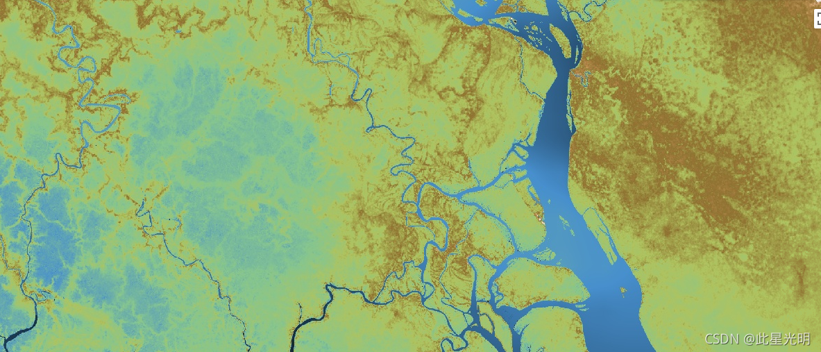
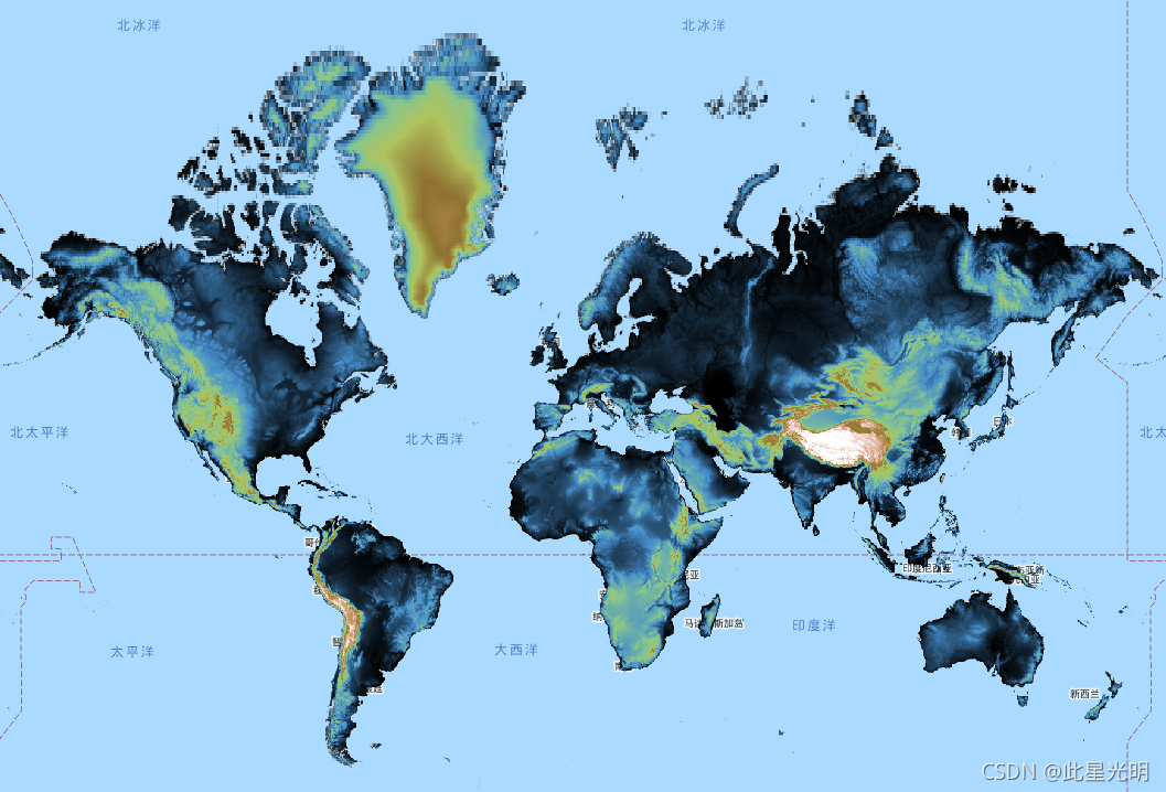
MERIT DEM a high accuracy global DEM at 3 arc second resolution (~90 m at the equator) produced by eliminating major error components from existing DEMs (NASA SRTM3 DEM, JAXA AW3D DEM, Viewfinder Panoramas DEM). MERIT DEM separates absolute bias, stripe noise, speckle noise and tree height bias using multiple satellite datasets and filtering techniques. After the error removal, land areas mapped with 2 m or better vertical accuracy were increased from 39% to 58%. Significant improvements were found in flat regions where height errors larger than topography variability, and landscapes such as river networks and hill-valley structures became clearly represented.
'MERIT DEM was developed by processing the following products as baseline data:
In addition to the above baseline dems, these products were used as supplementary data:
- NASA-NSIDC ICESat/GLAS GLA14 data
- U-Maryland Landsat forest cover data
- NASA Global Forest height data
- JAMSTEC/U-Tokyo G3WBM water body data'
MERIT DEM是通过消除现有DEM(NASA SRTM3 DEM、JAXA AW3D DEM、Viewfinder Panoramas DEM)中的主要误差成分而产生的3角秒分辨率的高精度全球DEM(赤道上约90米)。MERIT DEM利用多个卫星数据集和过滤技术,分离了绝对偏差、条纹噪声、斑点噪声和树高偏差。去除误差后,以2米或更好的垂直精度测绘的土地面积从39%增加到58%。在高度误差大于地形变化的平坦地区发现了明显的改进,河网和山谷结构等地貌变得清晰可见。
MERIT DEM是通过处理以下产品作为基线数据开发的。
NASA SRTM3 DEM v2.1
JAXA AW3D - 30米DEM v1
取景器全景图DEM
除上述基线数据外,还使用了这些产品作为补充数据。
NASA-NSIDC ICESat/GLAS GLA14数据
U-Maryland Landsat森林覆盖数据
NASA全球森林高度数据
JAMSTEC/U-Tokyo G3WBM水体数据'。
Dataset Availability
1987-01-01T00:00:00 - 2017-01-01T00:00:00
Dataset Provider
Dai Yamazaki (University of Tokyo)
Collection Snippet
ee.Image("MERIT/DEM/v1_0_3")
Bands Table
| Name | Description | Resolution |
| dem | Elevation in meters, referenced to EGM96 geoid model. | 92.77 meters |
使用说明:
'Citation to the paper is adequate if you simply use MERIT DEM. If you asked for help for additional handling/editing of the dataset, or if your research outcome highly depends on the product, the developer would request co-authorship.
MERIT DEM is licensed under a Creative Commons "CC-BY-NC 4.0" or Open Data Commons "Open Database License (ODbL 1.0)". With a dual license, you can choose an appropriate license for you.
To view a copy of these license, please visit:
- CC-BY-NC 4.0 license: Non-Commercial Use with less restriction.
- ODbL 1.0 license: Commercial Use is OK, but the derived data based on MERIT DEM should be made publicly available under the same ODbL license. For example, if you create a flood hazard map using MERIT DEM and you would like to provide a COMMERCIAL service based on that, you have to make the hazard map PUBLICLY AVAILABLE under OdBL license.
Note that the above license terms are applied to the "derived data" based on MERIT DEM, while they are not applied to "produced work / artwork" created with MERIT DEM (such as figures in a journal paper). The users may have a copyright of the artwork and may assign any license, when the produced work is not considered as "derived data".
By downloading and using the data the user agrees to the terms and conditions of one of these licenses. Notwithstanding this free license, we ask users to refrain from redistributing the data in whole in its original format on other websites without the explicit written permission from the authors.
The copyright of MERIT DEM is held by the developers, 2018, all rights reserved.'
'如果你只是使用MERIT DEM,引用该论文就足够了。如果你要求帮助对数据集进行额外的处理/编辑,或者你的研究成果高度依赖于该产品,开发者会要求共同作者。
MERIT DEM采用知识共享 "CC-BY-NC 4.0 "或开放数据共享 "开放数据库许可(ODbL 1.0)"进行许可。通过双重许可证,你可以选择适合你的许可证。
要查看这些许可证的副本,请访问。
CC-BY-NC 4.0许可证。非商业使用,限制较少。
ODbL 1.0许可证。商业使用是可以的,但基于MERIT DEM的衍生数据应在相同的ODbL许可证下公开提供。例如,如果你用MERIT DEM创建了一个洪水灾害地图,并且你想在此基础上提供商业服务,你必须在ODBL许可证下公开提供该灾害地图。
请注意,上述许可条款适用于基于MERIT DEM的 "衍生数据",而不适用于用MERIT DEM创作的 "作品/艺术作品"(如期刊论文中的数字)。当制作的作品不被视为 "派生数据 "时,用户可以拥有艺术品的版权,并可以转让任何许可。
通过下载和使用数据,用户同意这些许可证之一的条款和条件。尽管有这个免费许可,我们要求用户在没有得到作者明确的书面许可的情况下,不要在其他网站上以原始格式重新发布整个数据。
MERIT DEM的版权由开发者持有,2018年,所有权利保留。
引用:
Yamazaki D., D. Ikeshima, R. Tawatari, T. Yamaguchi, F. O'Loughlin, J.C. Neal, C.C. Sampson, S. Kanae & P.D. Bates. A high accuracy map of global terrain elevations. Geophysical Research Letters, vol.44, pp.5844-5853, 2017. doi:10.1002/2017GL072874
代码:
var dataset = ee.Image("MERIT/DEM/v1_0_3");
var visualization = {
  bands: ['dem'],
  min: -3,
  max: 18,
  palette: ['000000', '478FCD', '86C58E', 'AFC35E', '8F7131',
           'B78D4F', 'E2B8A6', 'FFFFFF']
};
Map.setCenter(90.301, 23.052, 10);
Map.addLayer(dataset, visualization, "Elevation");