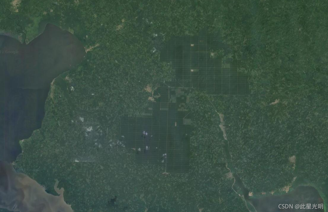
The dataset is a 10m global industrial and smallholder oil palm map for 2019. It covers areas where oil palm plantations were detected. The classified images are the output of a convolutional neural network based on Sentinel-1 and Sentinel-2 half-year composites.
该数据集是 2019 年的 1000 万全球工业和小农油棕地图。它涵盖了检测到油棕种植园的地区。分类图像是基于 Sentinel-1 和 Sentinel-2 半年合成的卷积神经网络的输出。
Dataset Availability
2019-01-01T00:00:00 - 2019-12-31T00:00:00
Dataset Provider
Collection Snippet
ee.ImageCollection("BIOPAMA/GlobalOilPalm/v1")
Bands Table
| Name | Description | Resolution |
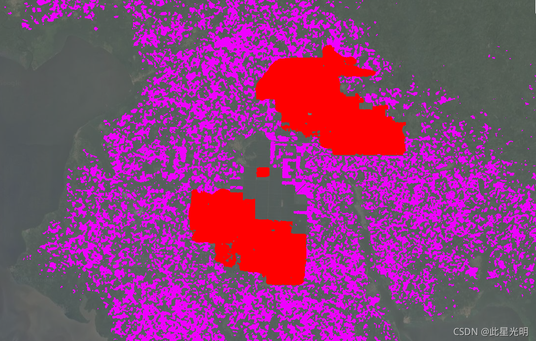
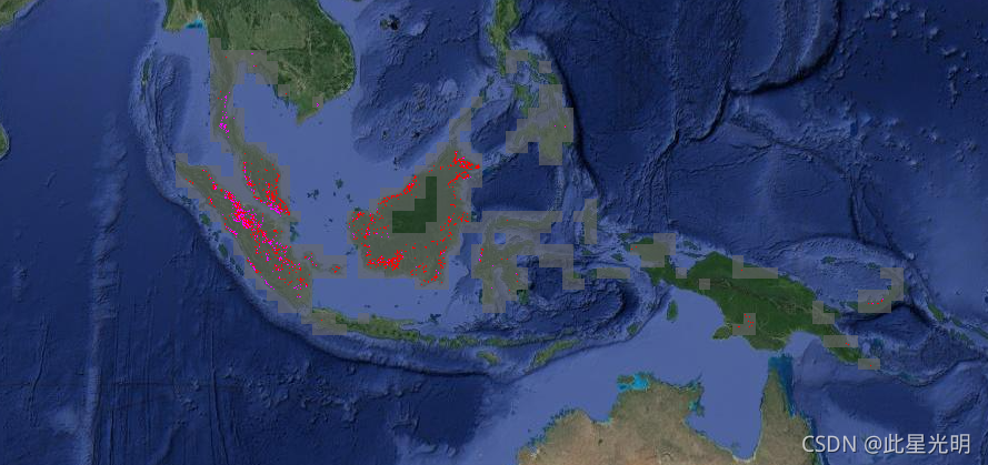
| classification | Oil Palm class description | 10 meters |
Class Table: classification
| Value | Color | Color Value | Description |
| 1 | #ff0000 | Industrial closed-canopy oil palm plantations | |
| 2 | #ef00ff | Smallholder closed-canopy oil palm plantations | |
| 3 | #696969 | Other land covers and/or uses that are not closed-canopy oil palm. |
引用:
Adrià, Descals, Serge, Wich, Erik, Meijaard, David, Gaveau, Stephen, Peedell, & Zoltan, Szantoi. (2021, January 27). High resolution global industrial and smallholder oil palm map for 2019 (Version v1). Zenodo.doi:10.5281/zenodo.4473715
代码:
//导入影像几何
var dataset = ee.ImageCollection('BIOPAMA/GlobalOilPalm/v1');
// 选择分类波段
var opClass = dataset.select('classification');
// 合成单独影像
var mosaic = opClass.mosaic();
// 定义图像参数
var classificationVis = {
  min: 1,
  max: 3,
  palette: ['ff0000','ef00ff', '696969']
};
// 定义一个条件来筛选地区
var mask = mosaic.neq(3);
mask = mask.where(mask.eq(0), 0.6);
//展示地图
Map.addLayer(mosaic.updateMask(mask),
             classificationVis, 'Oil palm plantation type', true);
Map.setCenter(-3.0175, 5.2745,12);