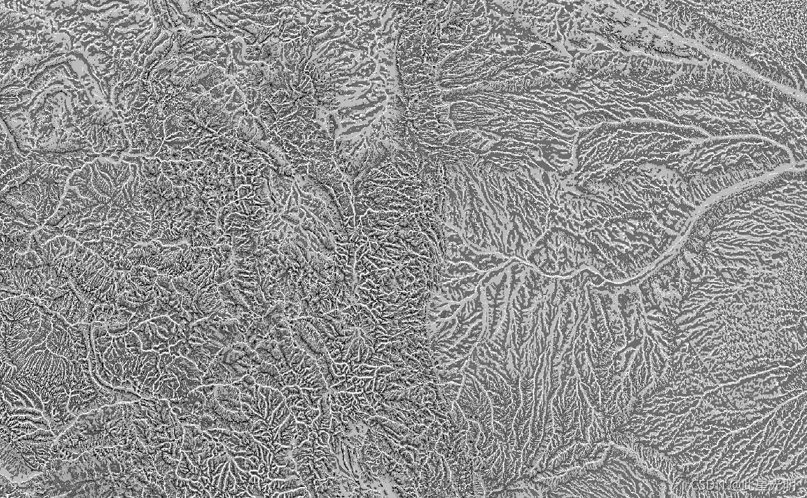
The Physiography dataset represents the spatial intersection of landforms (available in EE as ERGo/1_0/US/landforms) and lithology (available in EE as ERGo/1_0/US/lithology) data layers. It provides 247 unique combinations out of a possible 270. The values for each type are formed by concatenating the landform and lithology types (e.g., 1101 is "Peak/ridge" landform on "carbonate" lithology).
This data layer is sometimes referred to as characterizing "land facets".
The landforms layer is based on the USGS's 10m NED DEM (available in EE as USGS/NED). The lithology layer is not basen on any DEM.
This dataset is provided just for the US, because of the availability of the lithology data layer, though these data are likely available for other countries.
地貌数据集代表地貌(在EE中作为ERGo/1_0/US/地貌提供)和岩性(在EE中作为ERGo/1_0/US/岩性提供)数据层的空间交叉。它在可能的270个组合中提供了247个独特的组合。每种类型的数值是通过连接地貌和岩性类型形成的(例如,1101是 "碳酸盐 "岩性上的 "峰/脊 "地貌)。这个数据层有时被称为描述 "土地面 "的特征。
地貌层是基于美国地质调查局的10米NED DEM(在EE中以USGS/NED的形式提供)。岩性层不以任何DEM为基础。
由于岩性数据层的可用性,本数据集只为美国提供,尽管这些数据可能在其他国家也有。
Dataset Availability
2006-01-24T00:00:00 - 2011-05-13T00:00:00
Dataset Provider
Collection Snippet
ee.Image("CSP/ERGo/1_0/US/physiography")
Resolution
90 meters
Bands Table
| Name | Description | Min | Max |
| constant | Landforms and lithology intersection | 1100 | 4220 |
var dataset = ee.Image('CSP/ERGo/1_0/US/physiography');
var physiography = dataset.select('constant');
var physiographyVis = {
  min: 1100.0,
  max: 4220.0,
};
Map.setCenter(-105.4248, 40.5242, 8);
Map.addLayer(physiography, physiographyVis, 'Physiography');