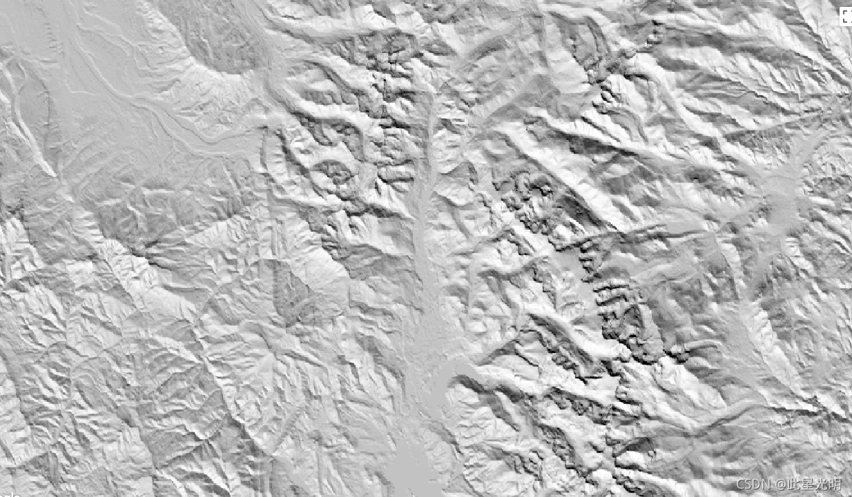
CHILI is a surrogate for effects of insolation and topographic shading on evapotranspiration represented by calculating insolation at early afternoon, sun altitude equivalent to equinox. It is based on the 30m SRTM DEM (available in EE as USGS/SRTMGL1_003).
The Conservation Science Partners (CSP) Ecologically Relevant Geomorphology (ERGo) Datasets, Landforms and Physiography contain detailed, multi-scale data on landforms and physiographic (aka land facet) patterns. Although there are many potential uses of these data, the original purpose for these data was to develop an ecologically relevant classification and map of landforms and physiographic classes that are suitable for climate adaptation planning. Because there is large uncertainty associated with future climate conditions and even more uncertainty around ecological responses, providing information about what is unlikely to change offers a strong foundation for managers to build robust climate adaptation plans. The quantification of these features of the landscape is sensitive to the resolution, so we provide the highest resolution possible given the extent and characteristics of a given index.
CHILI 是日照和地形阴影对蒸散的影响的替代品,通过计算下午早些时候的日照来表示,太阳高度相当于春分点。它基于 30m SRTM DEM(在 EE 中作为 USGS/SRTMGL1_003 提供)。
保护科学合作伙伴 (CSP) 生态相关地貌学 (ERGo) 数据集、地貌和地貌包含有关地貌和地貌(又名土地面)模式的详细的多尺度数据。尽管这些数据有许多潜在用途,但这些数据的最初目的是开发适合气候适应规划的地貌和地貌类别的生态相关分类和地图。由于未来气候条件存在很大的不确定性,生态响应的不确定性甚至更大,因此提供有关不太可能发生变化的信息为管理者制定稳健的气候适应计划提供了坚实的基础。景观的这些特征的量化对分辨率很敏感,因此在给定指数的范围和特征的情况下,我们提供可能的最高分辨率。
Dataset Availability
2006-01-24T00:00:00 - 2011-05-13T00:00:00
Dataset Provider
Collection Snippet
ee.Image("CSP/ERGo/1_0/Global/SRTM_CHILI")
Resolution
90 meters
Bands Table
| Name | Description | Min | Max |
| constant | SRTM-derived CHILI index ranging from 0 (very cool) to 255 (very warm). This was rescaled from the [0,1] range in the publication. | 0 | 255 |
代码:
var dataset = ee.Image('CSP/ERGo/1_0/Global/SRTM_CHILI');
var srtmChili = dataset.select('constant');
var srtmChiliVis = {
  min: 0.0,
  max: 255.0,
};
Map.setCenter(-105.8636, 40.3439, 11);
Map.addLayer(srtmChili, srtmChiliVis, 'SRTM CHILI');