
地面火灾马赛克 LF v2.2.0
LANDFIRE(LF),景观火灾和资源管理规划工具,是美国农业部林务局、美国内政部地质调查局和大自然保护协会的野地火灾管理项目之间的一个共享项目。
LANDFIRE(LF)层是使用预测性景观模型创建的,该模型基于大量的实地参考数据、卫星图像和生物物理梯度层,使用分类和回归树。你可以在这里阅读关于Landfire 2020更新v2.2.0的内容
LF2020更新代表了迈向年度更新的第二步,即前一年的干扰在当年的产品中得到体现。LANDFIRE(LF)2019L(有限)是实现这一目标的第一步,但包含了2017-2019年的有限干扰信息(仅事件和火灾项目数据)。LF 2020包括对2017-2020年记录的扰动地区的植被和燃料的调整。LF 2020干扰层包含事件、火灾项目数据(烧伤严重程度监测趋势(MTBS)、烧伤区反射率分类(BARC)、野火后植被状况快速评估(RAVG))和LF的景观变化遥感(RSLC),该数据使用自动算法和图像分析员审查来识别植被的光谱变化。见干扰源信息表。
就植被和燃料产品层中的干扰而言,LF 2020取代了LF 2019L,因为它包括LF 2019L中的所有干扰,加上LF的RSLC过程所确定的2017-2019年的额外干扰,以及额外一年的完整干扰制图(2020)。植被覆盖度和高度,以及燃料,在扰动区都将是2022年的能力。这意味着,在测绘的扰动区,植被和燃料将 "成长 "到当前(交付)年的条件。植被的过渡规则集考虑了2017-2020年的扰动(使用LF 2016 Remap植被作为输入),这意味着LF 2016 Remap之前扰动的植被将不会从当时的绘图中过渡。燃料更新利用2012-2020年的扰动,因为燃料过渡规则是基于扰动前的燃料输入,这可能早于LF 2016 Remap。
在LF2020更新中,辅助数据和类别有重要的变化,包括:
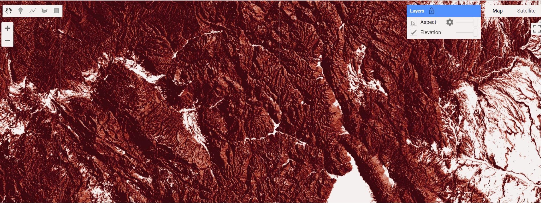
根据最新的三维高程计划(3DEP)数据对地形进行了全面的重新计算,并对对火灾行为建模至关重要的方面进行了校正
将最新的国家土地覆盖数据集(NLCD)2019年数据用于道路和城市等级,并为用于运营的道路设计了一个新的独立产品层
删除已开发的草木类,并根据微软建筑足迹数据和社区野火风险增值层指定新的可燃开发类。
移除最近被干扰的类别,用模拟的植被代替
使用新的2020年耕地数据层(CDL)调整农业等级,并将联邦农业用地过渡到非灌溉区的可燃燃料。
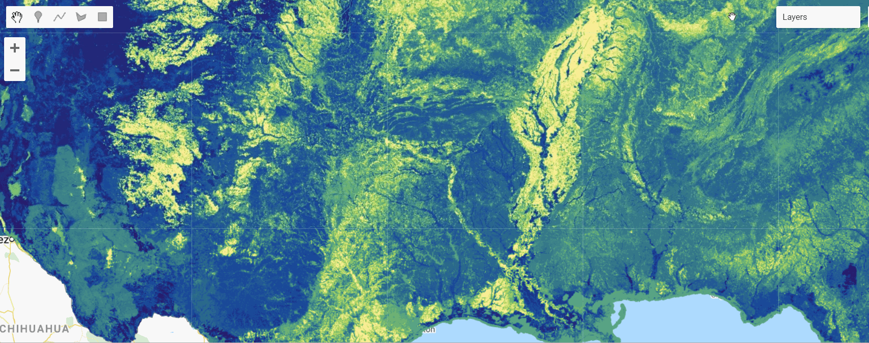
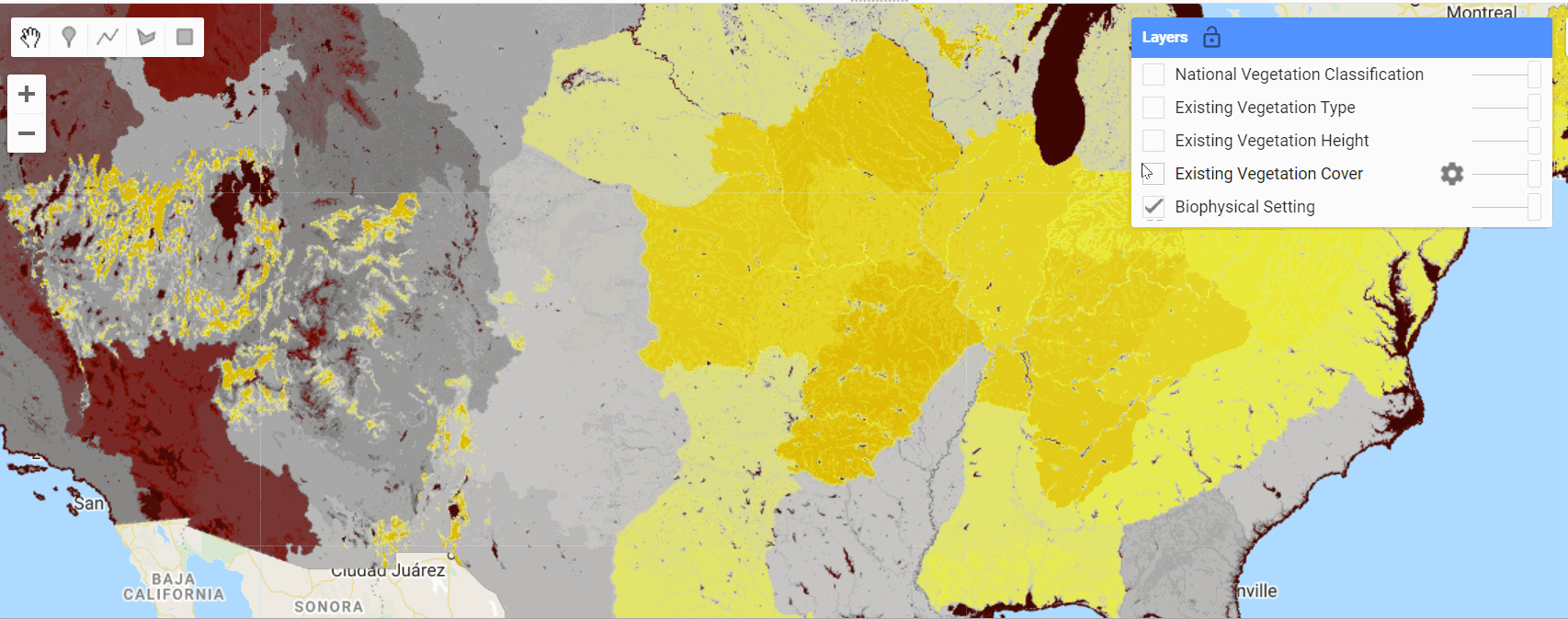
Currently included layers are
Earth Engine Snippet: Fire Regime v2.0.0
var sclass = ee.ImageCollection("projects/sat-io/open-datasets/landfire/fire-regime/sclass");
var vcc = ee.ImageCollection("projects/sat-io/open-datasets/landfire/fire-regime/vcc");
var vdep = ee.ImageCollection("projects/sat-io/open-datasets/landfire/fire-regime/vdep");
Earth Engine Snippet: Disturbance 2.2.0
var fdist = ee.ImageCollection("projects/sat-io/open-datasets/landfire/disturbance/FDIST");
var hdist = ee.ImageCollection("projects/sat-io/open-datasets/landfire/disturbance/HDIST");
var distyear = ee.ImageCollection("projects/sat-io/open-datasets/landfire/disturbance/DISTYEAR");
Earth Engine Snippet: Topographic 2.2.0
var elevation = ee.ImageCollection("projects/sat-io/open-datasets/landfire/topographic/ELEV");
var aspect = ee.ImageCollection("projects/sat-io/open-datasets/landfire/topographic/ASP");
var slope_degrees = ee.ImageCollection("projects/sat-io/open-datasets/landfire/topographic/SLP");
var slope_perc_rise = ee.ImageCollection("projects/sat-io/open-datasets/landfire/topographic/SlpP");
Earth Engine Snippet: Fuel 2.2.0
var cbd = ee.ImageCollection("projects/sat-io/open-datasets/landfire/fuel/CBD");
var cbh = ee.ImageCollection("projects/sat-io/open-datasets/landfire/fuel/CBH");
var cc = ee.ImageCollection("projects/sat-io/open-datasets/landfire/fuel/CC");
var cffdrs = ee.ImageCollection("projects/sat-io/open-datasets/landfire/fuel/CFFDRS");
var ch = ee.ImageCollection("projects/sat-io/open-datasets/landfire/fuel/CH");
var fbfm13 = ee.ImageCollection("projects/sat-io/open-datasets/landfire/fuel/FBFM13");
var fbfm40 = ee.ImageCollection("projects/sat-io/open-datasets/landfire/fuel/FBFM40");
var fccs = ee.ImageCollection("projects/sat-io/open-datasets/landfire/fuel/FCCS");
var fvc = ee.ImageCollection("projects/sat-io/open-datasets/landfire/fuel/FVC");
var fvh = ee.ImageCollection("projects/sat-io/open-datasets/landfire/fuel/FVH");
var fvt = ee.ImageCollection("projects/sat-io/open-datasets/landfire/fuel/FVT");
Earth Engine Snippet: Vegetation 2.2.0
var evc = ee.ImageCollection("projects/sat-io/open-datasets/landfire/vegetation/EVC");
var evh = ee.ImageCollection("projects/sat-io/open-datasets/landfire/vegetation/EVH");
var evt = ee.ImageCollection("projects/sat-io/open-datasets/landfire/vegetation/EVT");
Earth Engine Snippet: Transportation 2.2.0
var roads = ee.ImageCollection("projects/sat-io/open-datasets/landfire/transportation/ROADS");
Resolution: approx 30m
Citation
LANDFIRE spatial data products
Homepage title: Data product.(Last update). Agency. [Online].Available: URL [Access date].
LANDFIRE: LANDFIRE Existing Vegetation Type layer.(2013, June - last update). U.S. Department of Interior, Geological Survey.[Online]. Available: http://landfire.cr.usgs.gov/viewer/ [2013,May 8].
License
LANDFIRE data are public domain data with no use restrictions, though if modifications or derivatives of the product(s) are created, then please add some descriptive modifier to the data set to avoid confusion.
Curated by: Samapriya Roy
Keywords: doi, fire, landfire, nature-conservancy, usda, usgs, vegetation, wildfire
Last updated: 2022-08-16

