Google Earth Engine ——数据全解析专辑(US NED Physiographic Diversity地貌数据集代表地貌和岩性数据集)

简介: Google Earth Engine ——数据全解析专辑(US NED Physiographic Diversity地貌数据集代表地貌和岩性数据集)

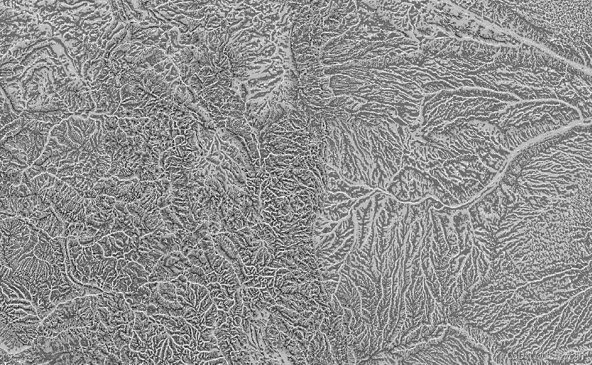
The Physiography dataset represents the spatial intersection of landforms (available in EE as ERGo/1_0/US/landforms) and lithology (available in EE as ERGo/1_0/US/lithology) data layers. It provides 247 unique combinations out of a possible 270. The values for each type are formed by concatenating the landform and lithology types (e.g., 1101 is "Peak/ridge" landform on "carbonate" lithology).


This data layer is sometimes referred to as characterizing "land facets".


The landforms layer is based on the USGS's 10m NED DEM (available in EE as USGS/NED). The lithology layer is not basen on any DEM.


This dataset is provided just for the US, because of the availability of the lithology data layer, though these data are likely available for other countries.


地貌数据集代表地貌(在EE中作为ERGo/1_0/US/地貌提供)和岩性(在EE中作为ERGo/1_0/US/岩性提供)数据层的空间交叉。它在可能的270个组合中提供了247个独特的组合。每种类型的数值是通过连接地貌和岩性类型形成的(例如,1101是 "碳酸盐 "岩性上的 "峰/脊 "地貌)。这个数据层有时被称为描述 "土地面 "的特征。

地貌层是基于美国地质调查局的10米NED DEM(在EE中以USGS/NED的形式提供)。岩性层不以任何DEM为基础。


由于岩性数据层的可用性,本数据集只为美国提供,尽管这些数据可能在其他国家也有。


Dataset Availability

2006-01-24T00:00:00 - 2011-05-13T00:00:00

Dataset Provider

Conservation Science Partners

Collection Snippet

ee.Image("CSP/ERGo/1_0/US/physiography")

Resolution

90 meters

Bands Table

Name Description Min Max
constant Landforms and lithology intersection 1100 4220
var dataset = ee.Image('CSP/ERGo/1_0/US/physiography');
var physiography = dataset.select('constant');
var physiographyVis = {
  min: 1100.0,
  max: 4220.0,
};
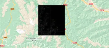
Map.setCenter(-105.4248, 40.5242, 8);
Map.addLayer(physiography, physiographyVis, 'Physiography');

相关文章
|
数据可视化 定位技术 Sentinel
如何用Google Earth Engine快速、大量下载遥感影像数据?
【2月更文挑战第9天】本文介绍在谷歌地球引擎(Google Earth Engine,GEE)中,批量下载指定时间范围、空间范围的遥感影像数据(包括Landsat、Sentinel等)的方法~
6487 1
如何用Google Earth Engine快速、大量下载遥感影像数据?
|
机器学习/深度学习 算法 数据可视化
基于Google Earth Engine云平台构建的多源遥感数据森林地上生物量AGB估算模型含生物量模型应用APP
1114 0
|
机器学习/深度学习 人工智能 算法
Google DeepMind新产物: 行星级卫星嵌入数据集(10m)光学+雷达+DEM+climate...
Google 推出 Earth Engine 卫星嵌入数据集,利用 AI 将一年的多源卫星数据压缩至每个 10 米像素,实现高效地理空间分析。基于 AlphaEarth Foundations 模型,该数据集提供 64 维嵌入向量,支持相似性搜索、变化检测、自动聚类和精准分类,助力环境研究与应用。
772 0
|
存储 编解码 数据可视化
Google Earth Engine获取随机抽样点并均匀分布在栅格的不同数值区中
【2月更文挑战第14天】本文介绍在谷歌地球引擎(Google Earth Engine,GEE)中,按照给定的地表分类数据,对每一种不同的地物类型,分别加以全球范围内随机抽样点自动批量选取的方法~
1555 1
Google Earth Engine获取随机抽样点并均匀分布在栅格的不同数值区中
|
编解码 人工智能 算法
Google Earth Engine——促进森林温室气体报告的全球时间序列数据集
484 0
|
编解码 人工智能 数据库
Google Earth Engine(GEE)——全球道路盘查项目全球道路数据库
624 0
|
编解码
Open Google Earth Engine(OEEL)——matrixUnit(...)中产生常量影像
431 0
Google Earth Engine(GEE)——导出指定区域的河流和流域范围
1200 0
|
传感器 编解码 数据处理
Open Google Earth Engine(OEEL)——哨兵1号数据的黑边去除功能附链接和代码
744 0
Google Earth Engine(GEE)——当加载图表的时候出现错误No features contain non-null values of “system:time_start“.
555 0

热门文章

最新文章

推荐镜像

更多